Log in
All resources
Create a design
555 Free Images of United States Map
maps in the library of congress
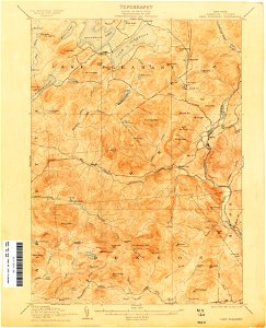
united states geological survey maps
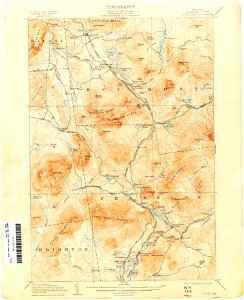
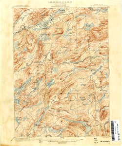
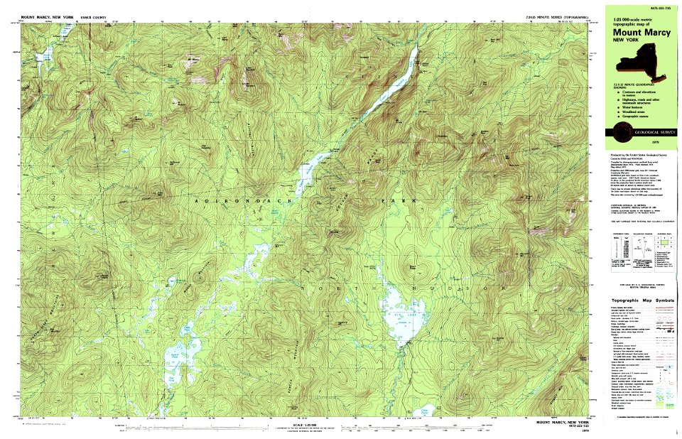
maps of the adirondack mountains
maps
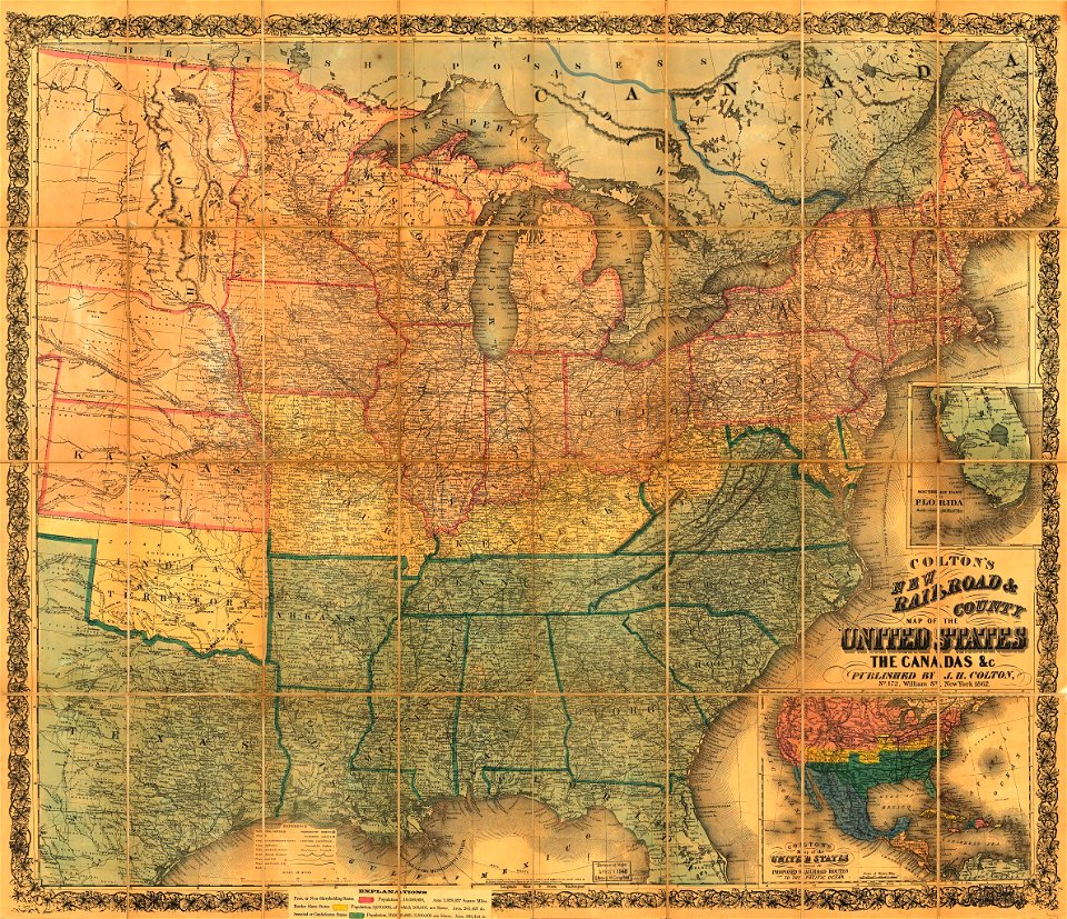
1887 maps of the united states
old maps of new york (state)
topographic maps of new york (state)
geography
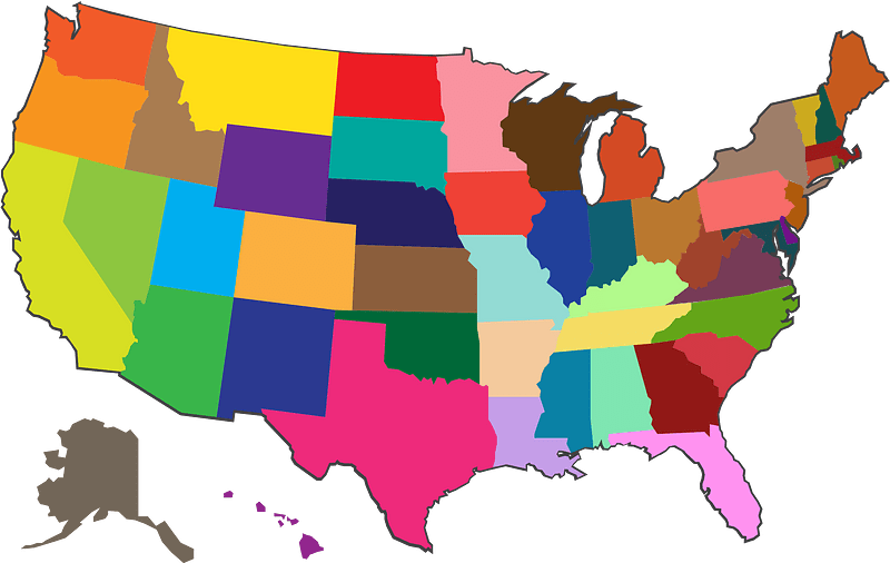
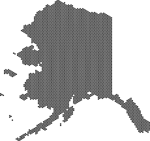
usa map
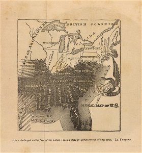
cornell: persuasive cartography: the pj mode collection
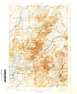
united states geological survey maps
old maps of new york (state)
united states geological survey maps
old maps of new york (state)
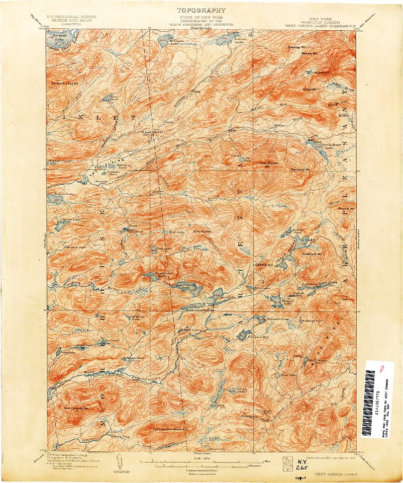
united states geological survey maps
old maps of new york (state)
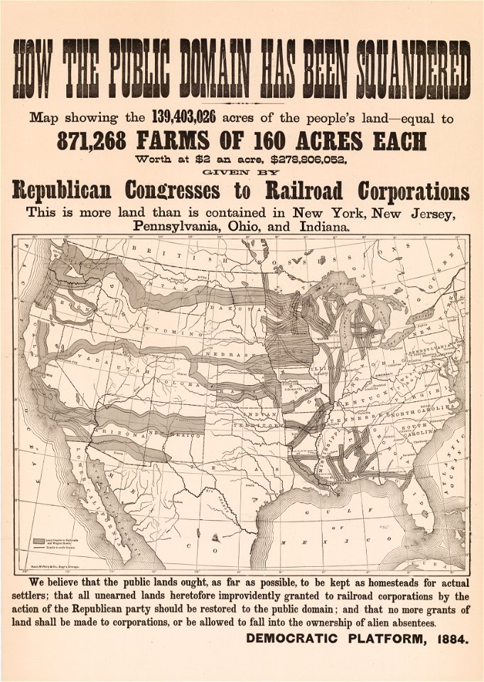
republican party (united states)
1884 in the united states
maps
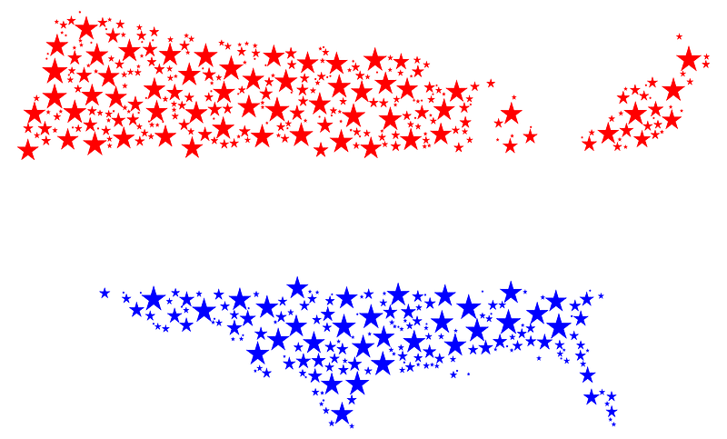
flag
maps in the library of congress
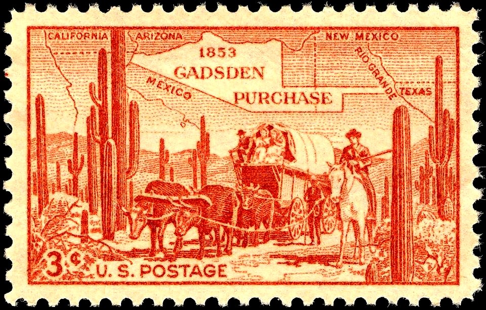
1853 maps
cornell university library
abolitionism
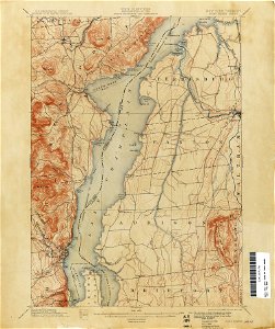
loon lake
new york
old maps of new york (state)
new york
old forge
new york
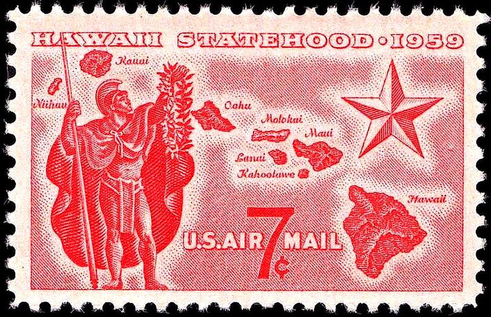
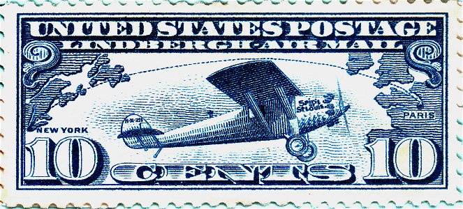
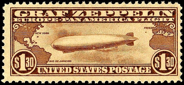
airmail stamps of the united states
red stamp
united states geological survey maps
maps of the adirondack mountains
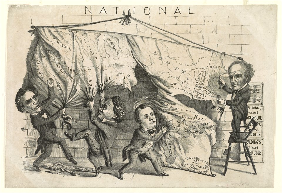
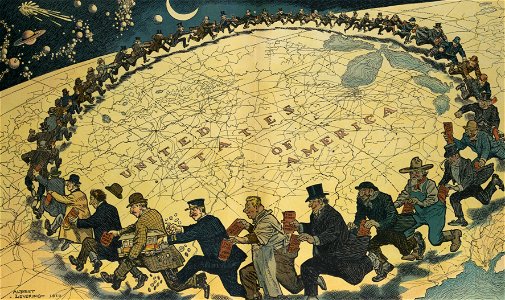
cartoons of the united states
unidentified maps
maps of the united states
airmail stamps of the united states
blue stamps
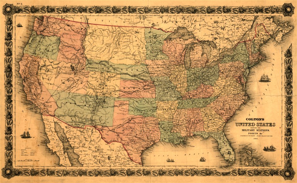
military bases of the united states
old maps of the history of normandy
travel
maps
slavery in the united states
purple stamp
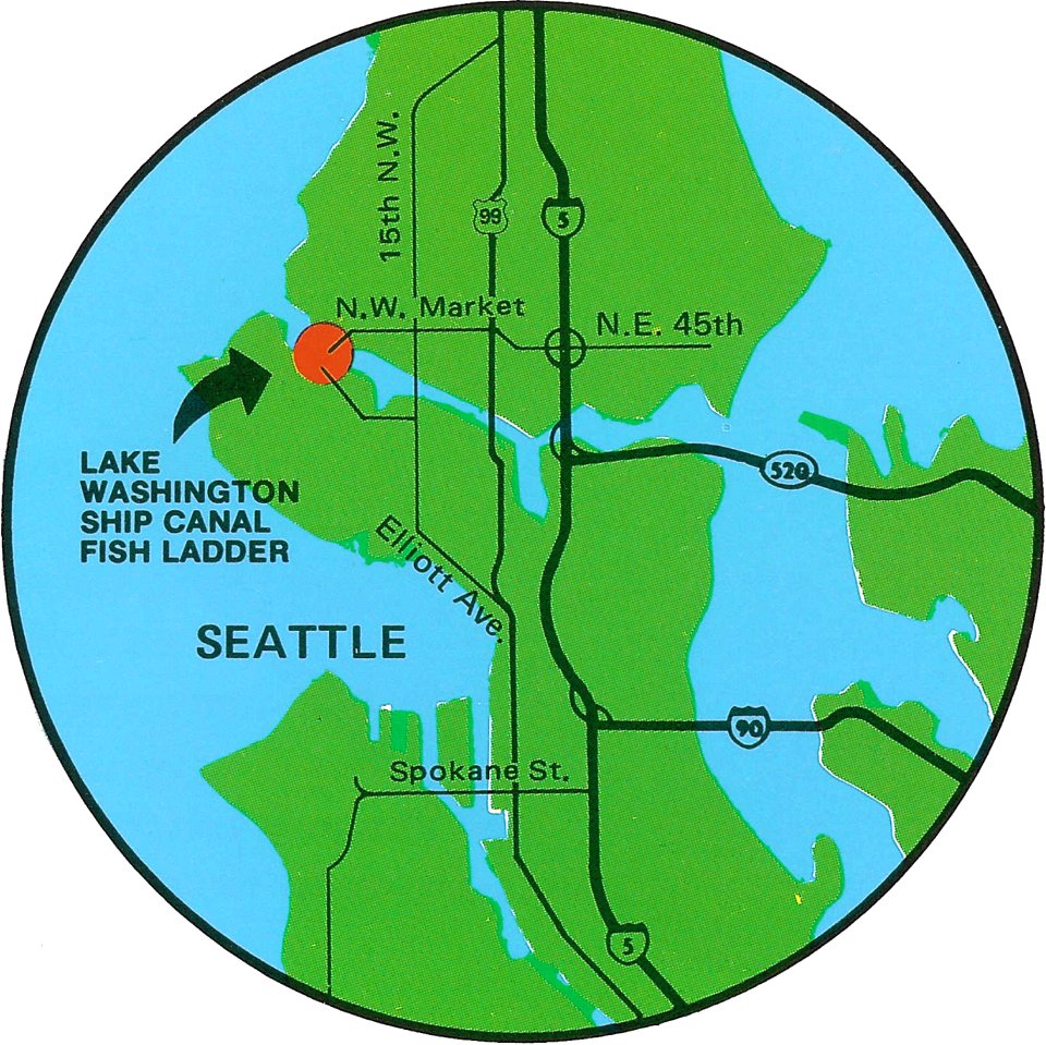
fish ladders in the united states
1996 maps
maps in the library of congress
old maps of pennsylvania
old maps of the saint lawrence river
old maps of new england
maps
usa
old maps of new brunswick
old maps of maine
maps in the library of congress
1860 maps
maps in the library of congress
1862 maps
maps in the library of congress
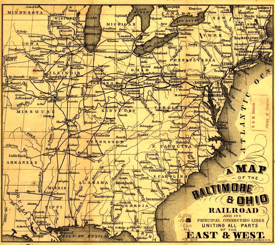
a. hoen & co.
maps in the library of congress
a. hoen & co.
maps in the library of congress
1860 maps
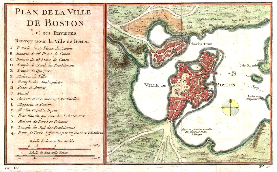
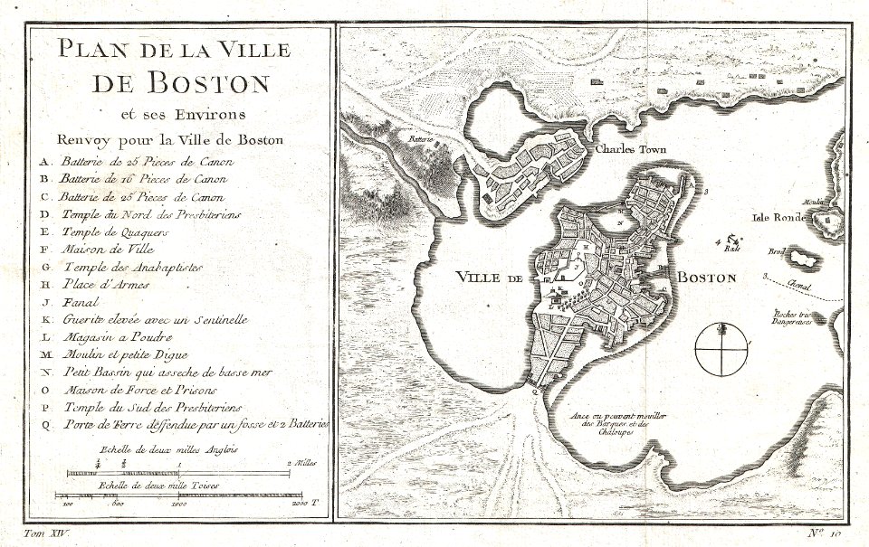
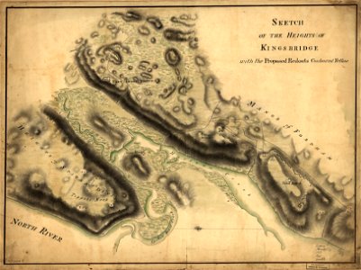
pemberton square
scollay square
maps in the library of congress
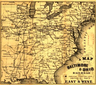
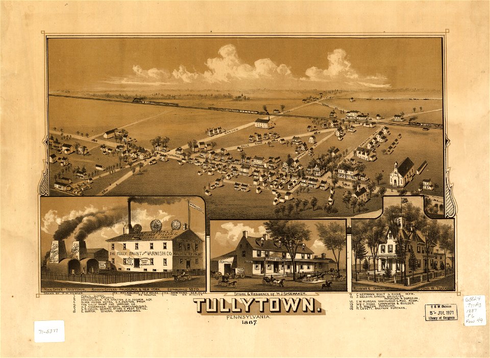
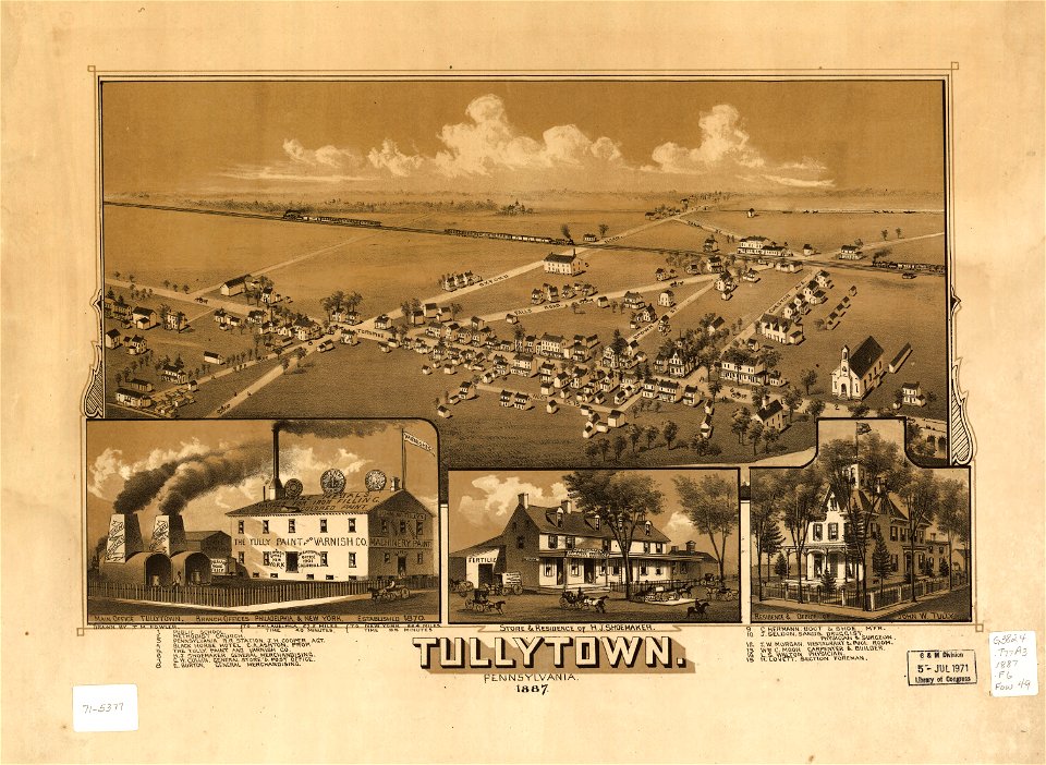
pennsylvania
maps in the library of congress
pennsylvania
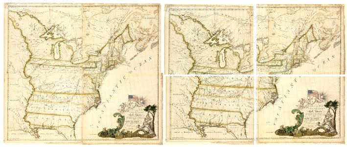
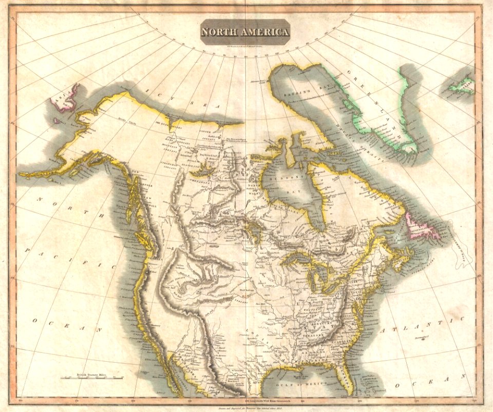
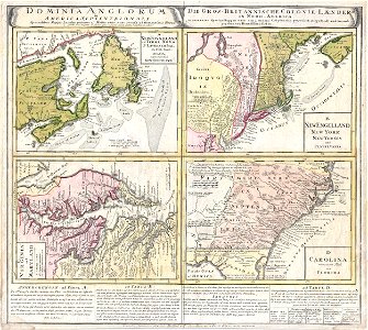
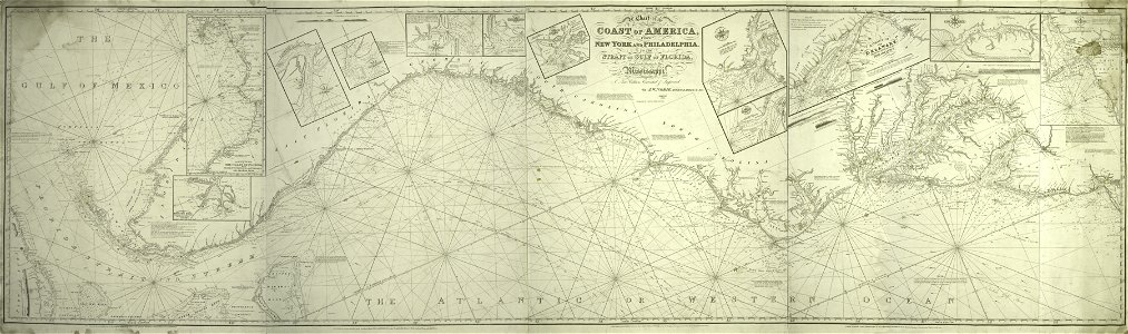
1814 maps of north america
maps by john thomson
airmail stamps of the united states
spirit of st louis
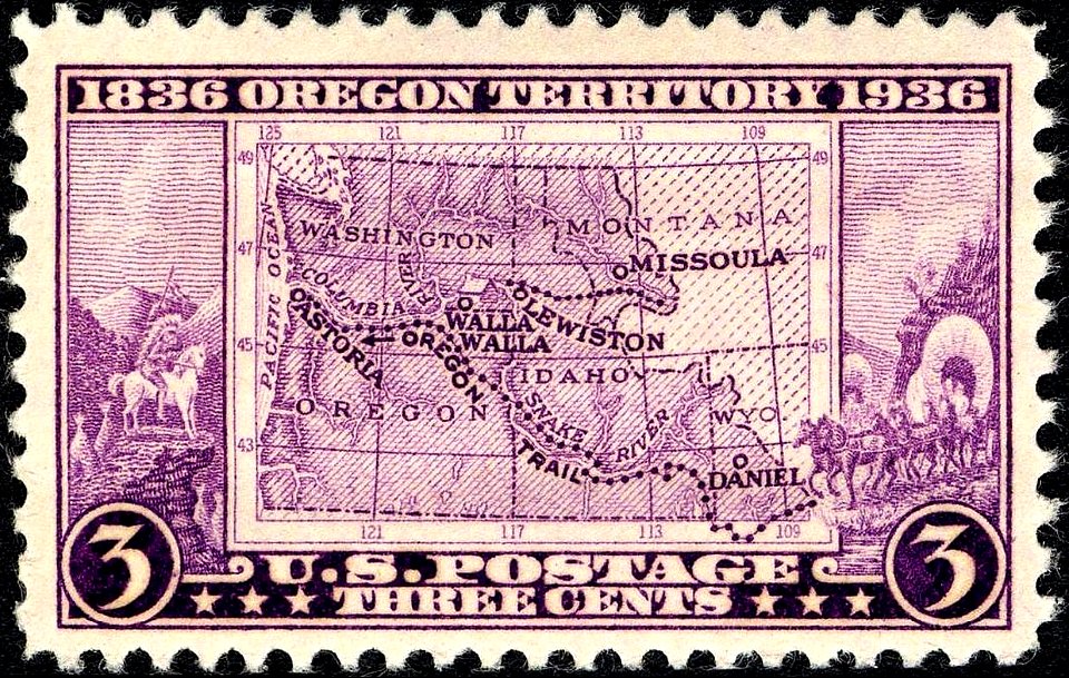
commemorative stamps of the united states
sesquicentennials on stamps
cartoons of the united states
oregon territory
purple stamp
maps in the library of congress
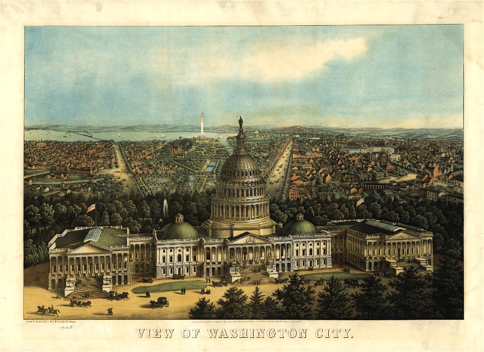
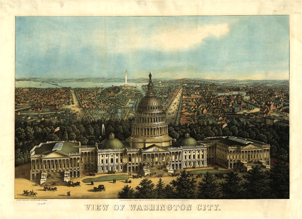
united states capitol in art
maps in the library of congress
united states capitol in art
maps in the library of congress
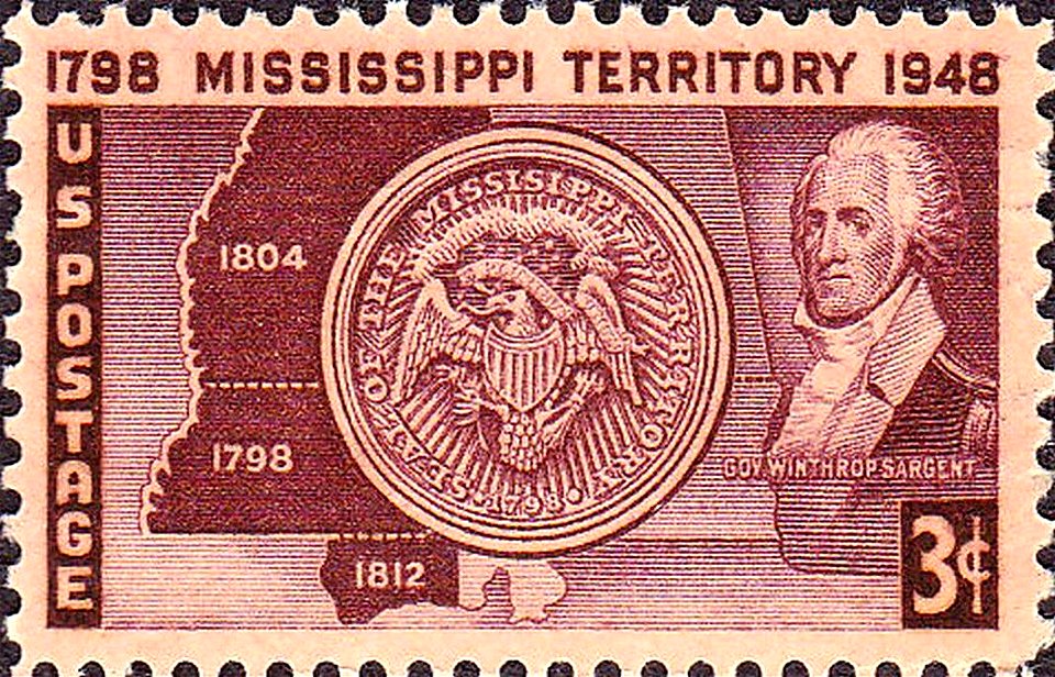
missouri territory
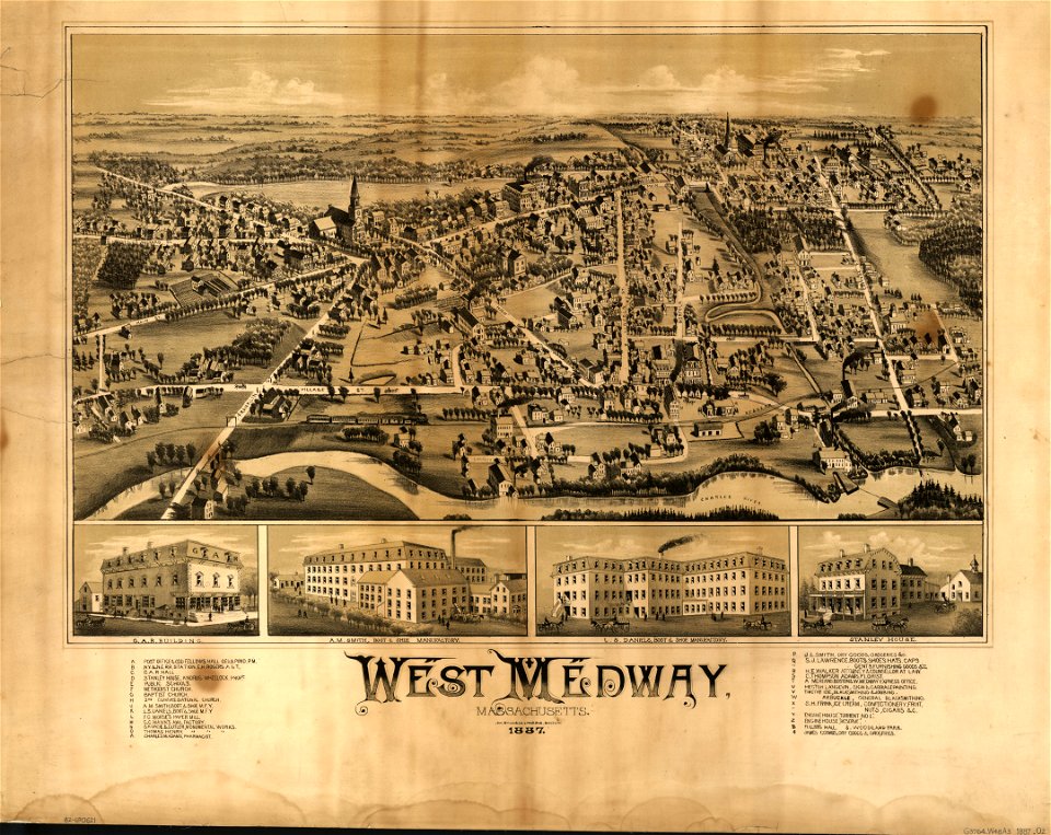
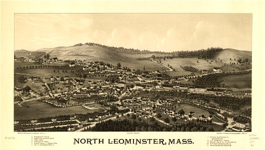
old maps of massachusetts
o. h. bailey
old maps of massachusetts
o. h. bailey
old maps of massachusetts
massachusetts
maps in the library of congress
old maps of massachusetts
national atlas of the united states
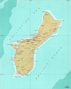
maps of guam
maps in the library of congress
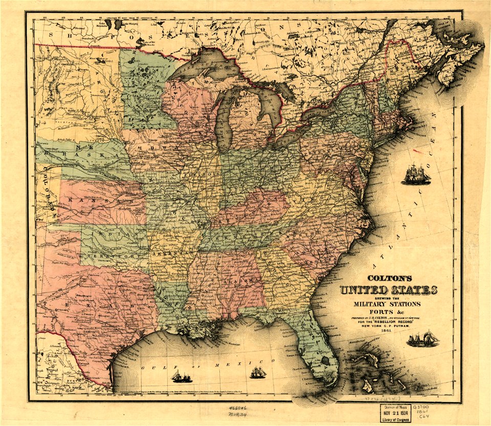
1861 maps
maps in the library of congress
1861 maps
old maps of georgia (u.s. state)
maps in the library of congress
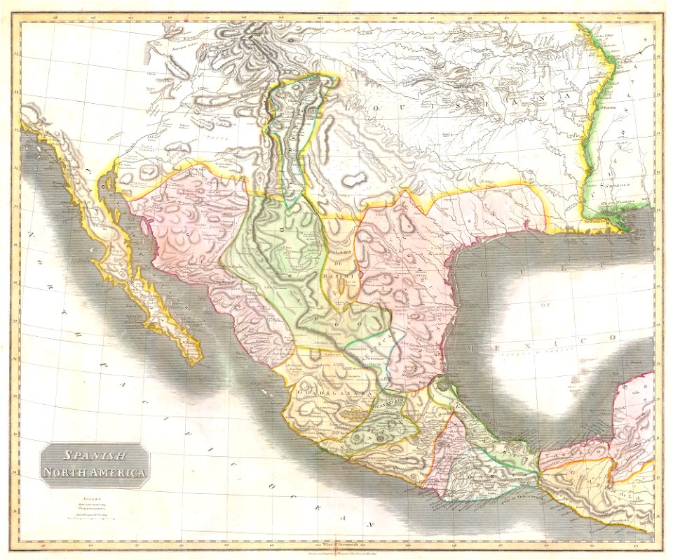
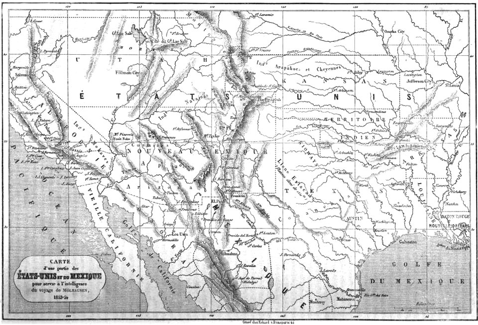
1810s maps of mexico
1814 in mexico
maps in the library of congress
old maps of louisiana
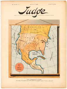
judge
1895
old maps of the united states
johann baptist homann
old maps of the american civil war
1862 maps
waldseemüller map
age of discovery
stamps designed by charles r. chickering
brown stamps
maps in the library of congress
old maps of mexico
1860s maps of the united states
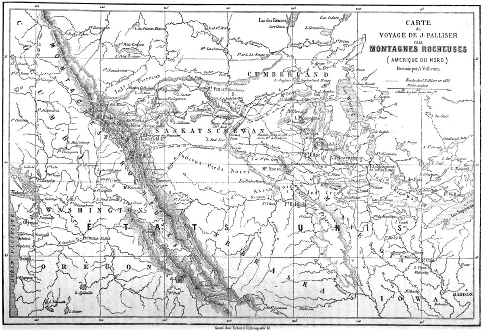
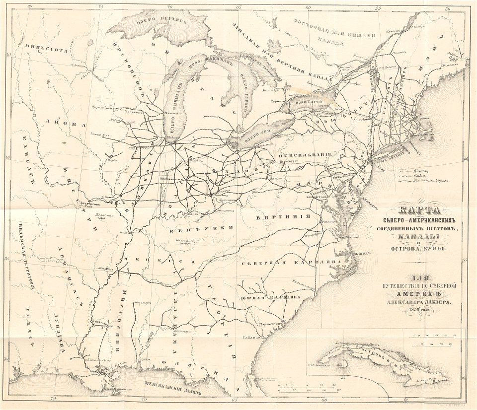
maps by alexandre vuillemin
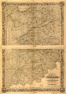
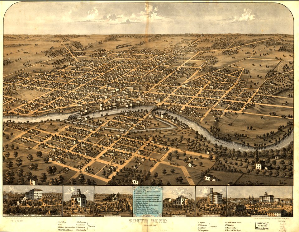
south bend
indiana
old maps of the united states
old maps of canada
english-language maps
missouri
old maps of new york (state)
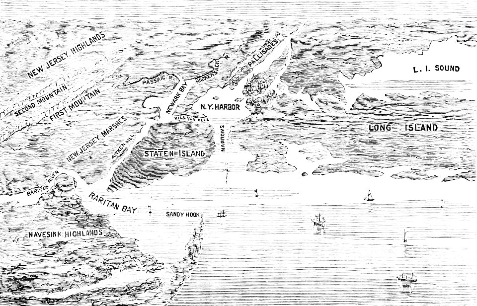
the palisades (hudson river)
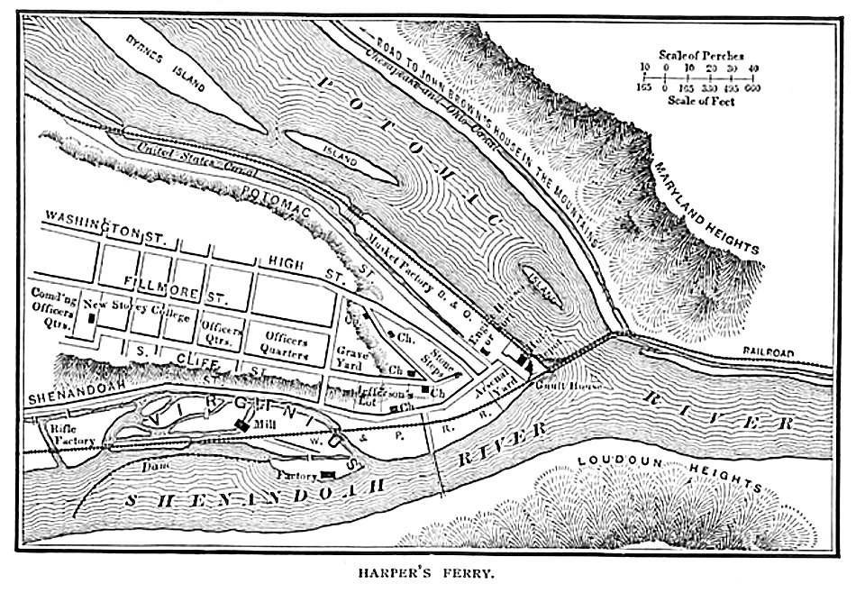
harpers ferry
west virginia
map images supported by wikimedia uk
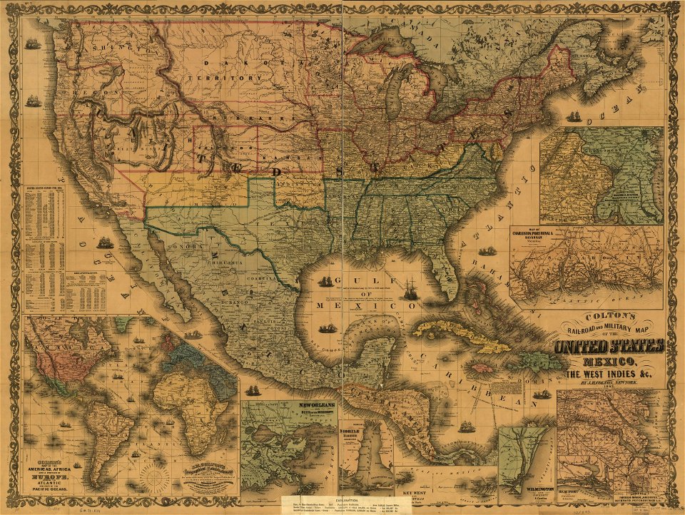
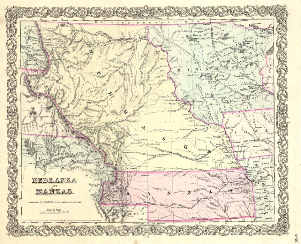
1856 maps
maps of okinawa islands
maps of guam
maps by jacques-nicolas bellin
jacques-nicolas bellin
maps by jacques-nicolas bellin
jacques-nicolas bellin
old maps of the united states
1859 maps
maps
usa
johann baptist homann
latin-language maps
brazil
maps
new york city
bronx
puck
1910
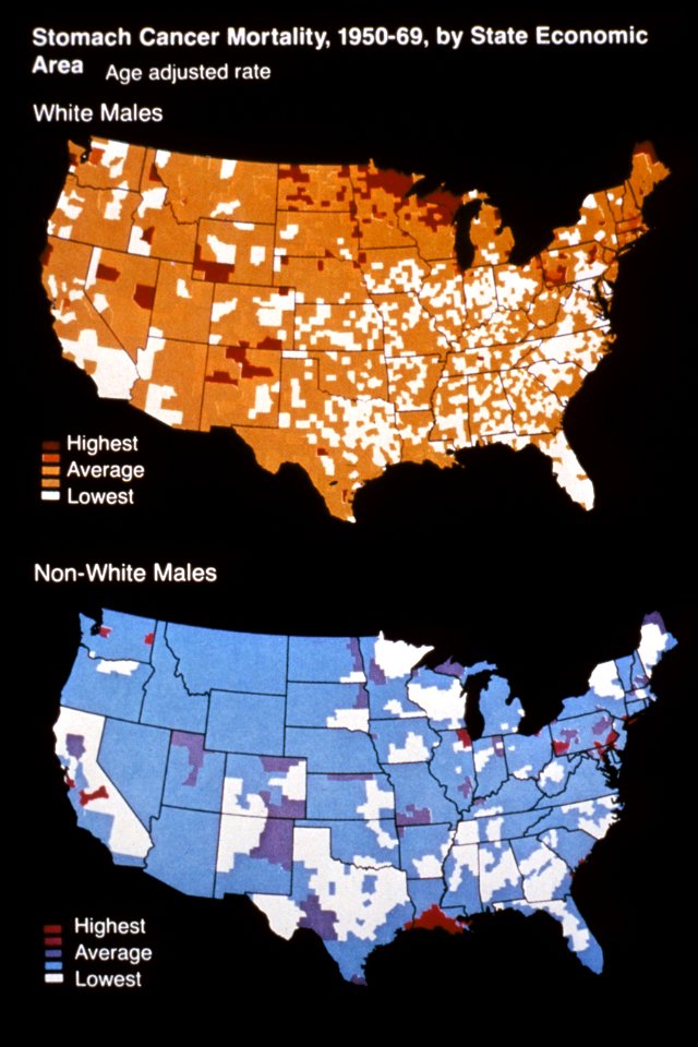
media from national cancer institute visuals online
maps of the united states
military bases of the united states
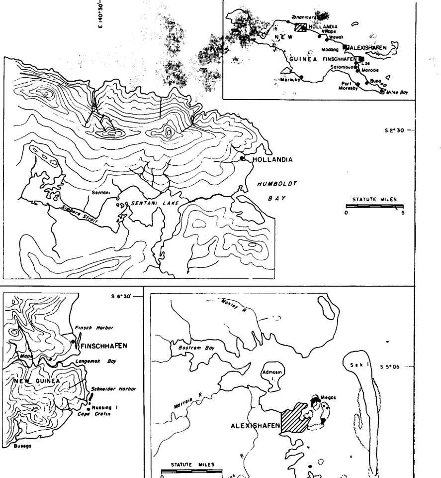
old maps of papua new guinea
mercator projection
sugar industry
19th-century lithographs in the united states
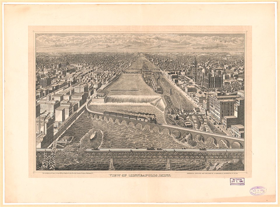
mississippi river at minneapolis
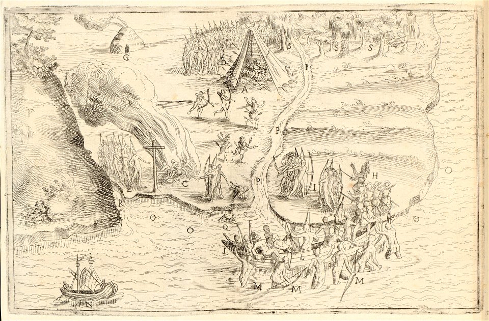
maps by samuel de champlain
history of north america
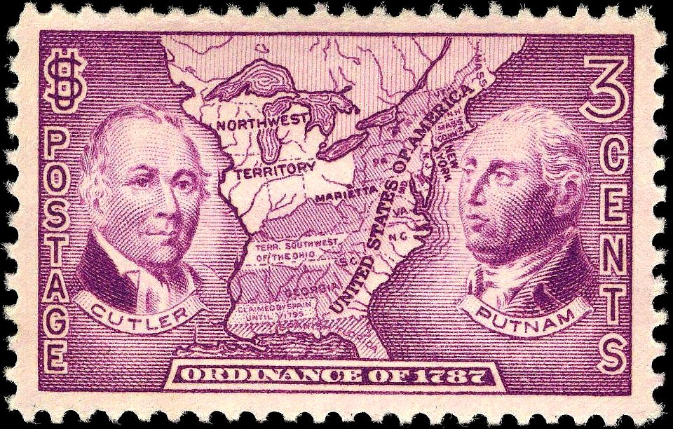
1934 stamps of the united states
blue stamps
maps
flag
maps
flag
1780 maps of pennsylvania
1780 maps of new jersey
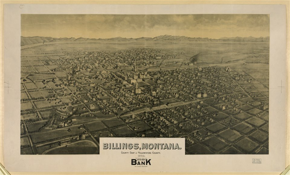
lithographs of montana
montana
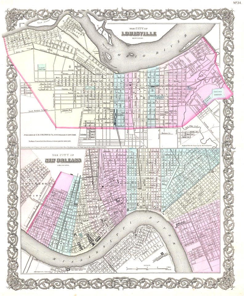
louisville,
kentucky
airmail stamps of the united states
brown stamps
maps in the library of congress
1861 maps
maps in the library of congress
1861 maps
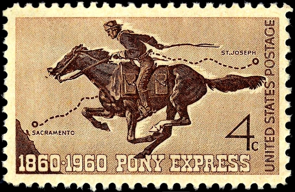
pony express stamps
pony express
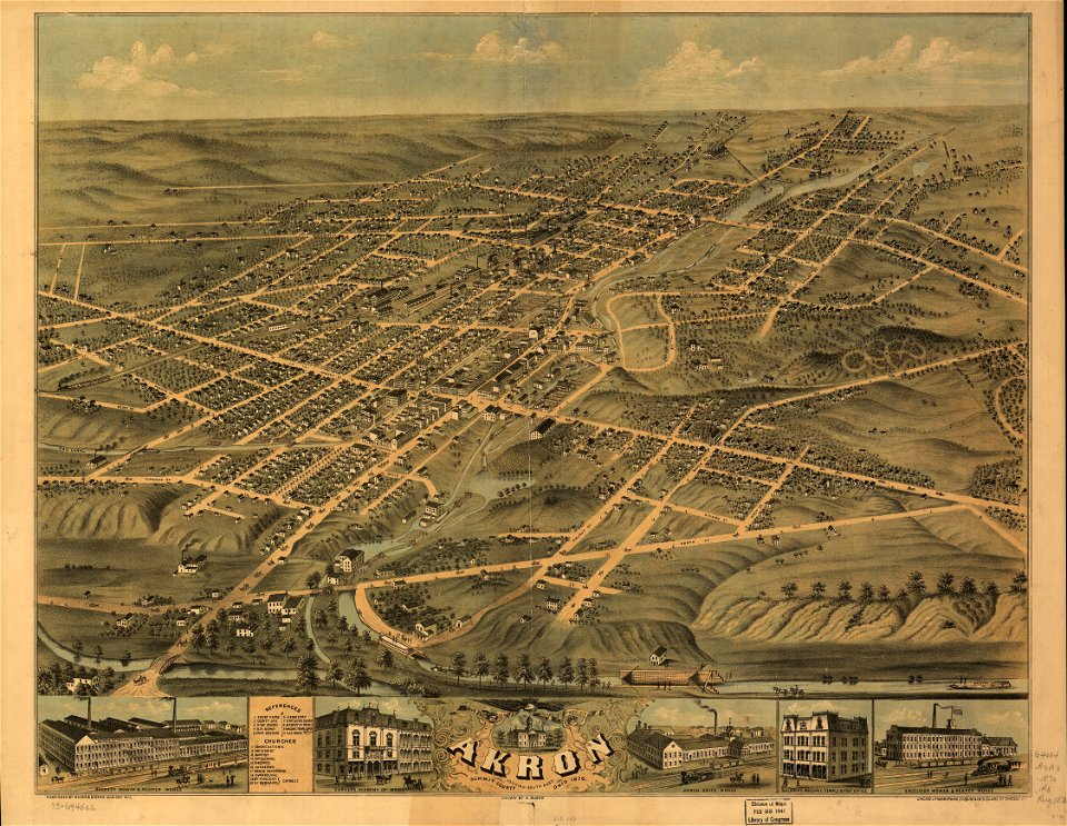
akron
ohio
self-published work
tower
cornell university library
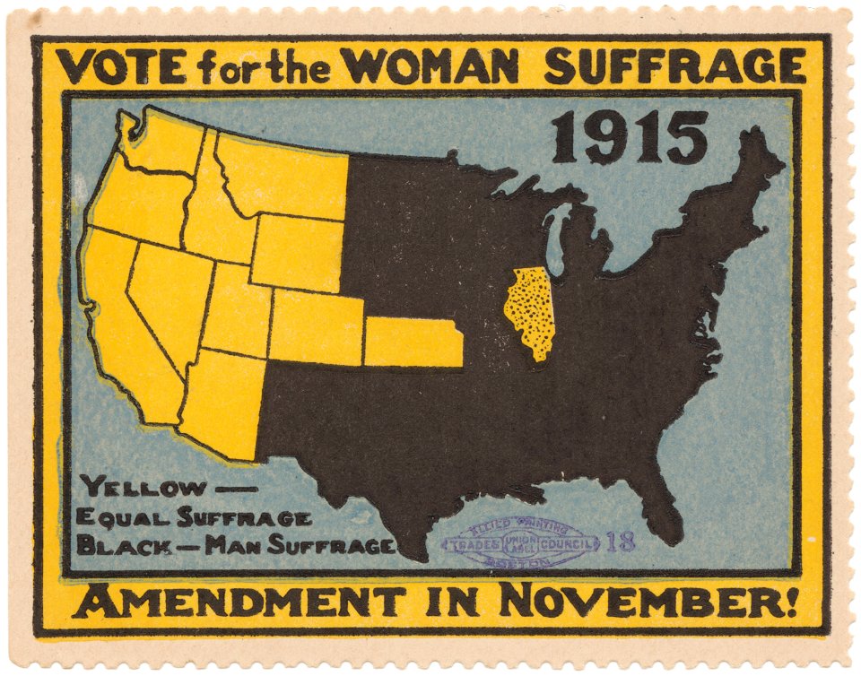
women's rights
map images supported by wikimedia uk
1856 maps
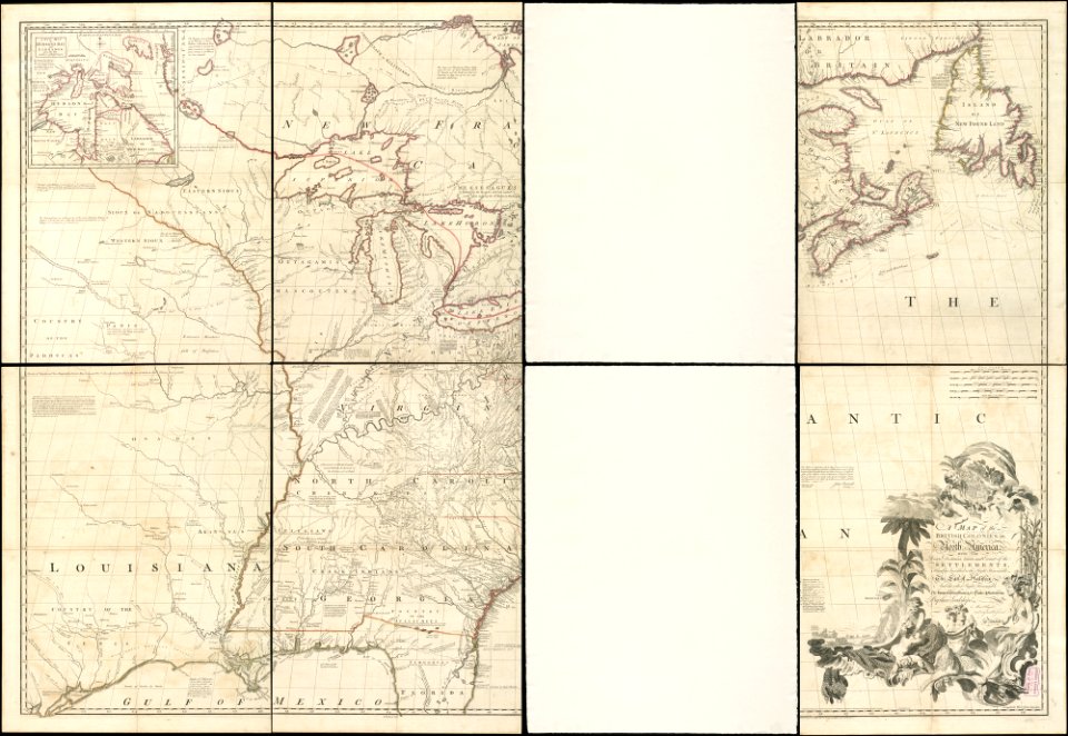
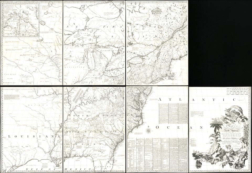
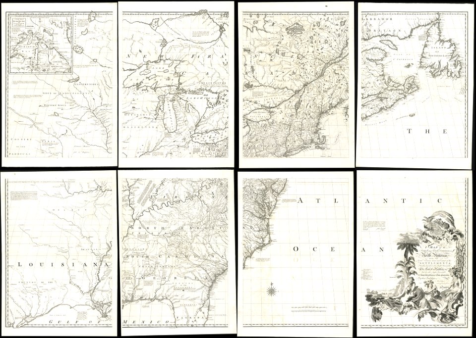
18th-century maps of north america
1794 maps
old maps of north america
1755 mitchell map
old maps of north america
1755 mitchell map
old maps of north america
1755 mitchell map
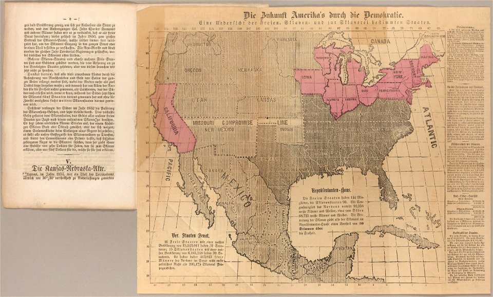
cornell university library
abolitionism
19th-century maps of the united states
volume 1 of le tour du monde
indian territory
franklin pierce
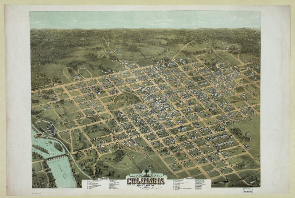
south carolina in the 19th century
columbia
south carolina in the 19th century
columbia
illustrated battles of the nineteenth century
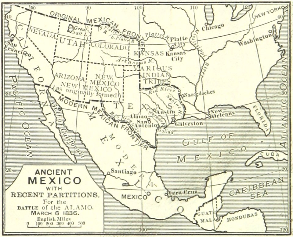
maps of the history of mexico
101 - 200 of 555
Next page
/ 6